Georeferences a raster using the specified parameters.
Parameters
The Parameter Type determines which parameters are required in this transformer.
Parameter Type
Point And Angle: X Upper Left Coordinate, Y Upper Left Coordinate, X Cell Spacing, Y Cell Spacing and Rotation will be used.
In this case, the raster's origin will be set to the upper left coordinate and X Cell Spacing, Y Cell Spacing and Rotation are stored as input, untouched.
Extents: X Upper Left Coordinate, Y Upper Left Coordinate, X Upper Right Coordinate, Y Upper Right Coordinate, X Lower Right Coordinate, Y Lower Right Coordinate, X Lower Left Coordinate and Y Lower Left Coordinate will be used.
In this case, all input coordinates are validated to be unique, to form a rectangle which can be rotated, and to be clockwise. The rotation and spacing are then calculated from these coordinates and stored. The raster's origin will be set to the upper left coordinate.
Usage Notes
- If the raster is already georeferenced, this will overwrite the old georeferencing information.
- This transformer is unaffected by raster band and palette selection.
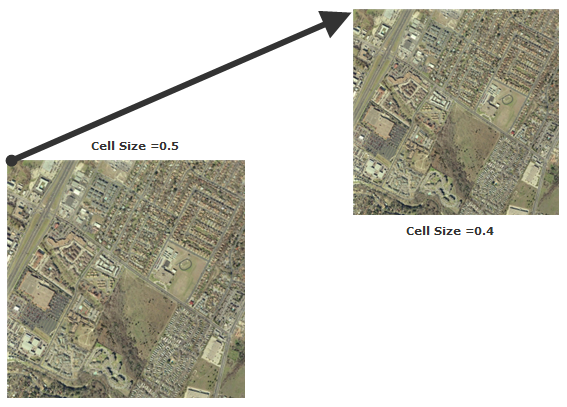
Example
Editing Transformer Parameters
Using a set of menu options, transformer parameters can be assigned by referencing other elements in the workspace. More advanced functions, such as an advanced editor and an arithmetic editor, are also available in some transformers. To access a menu of these options, click  beside the applicable parameter. For more information, see Transformer Parameter Menu Options.
Transformer Categories
FME Licensing Level
FME Professional edition and above
Search FME Knowledge Center
Search for samples and information about this transformer on the FME Knowledge Center.