This parameter lets the user specify how features will be written into the destination table. Supported feature operations are:
- Insert: Append rows onto the destination table using attributes on features.
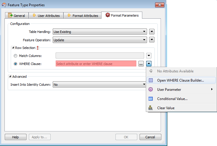
- Update: Update existing table columns using attributes on features. A selection method must be specified in the Row Selection group.
- Delete: Delete existing table rows. A selection method must be specified in the Row Selection group.
- fme_db_operation: The feature operation will be determined by the attribute fme_db_operation on each input feature. A selection method must be specified in the Row Selection group. The value of fme_db_operation will be processed as follows:
- If the value is null, empty, or missing, it will be treated as Insert.
- The value will next be matched to Insert, Update, and Delete, case insensitively.
- If there is no match, the feature will be rejected.
- If there is a match, the matched feature operation will be performed on the feature.
Tip: Unlike in previous versions of FME, the fme_db_operation attribute will now cause feature rejection when Feature Operation is set to Insert, Update, or Delete.