The Google Maps Engine Raster Reader uses the Google Maps Engine API to read raster and raster collection assets. A raster collection asset contains multiple raster assets. Each raster asset corresponds to a single FME feature.
This parameter specifies a refresh token for OAuth 2.0 authentication to a specific Google account.
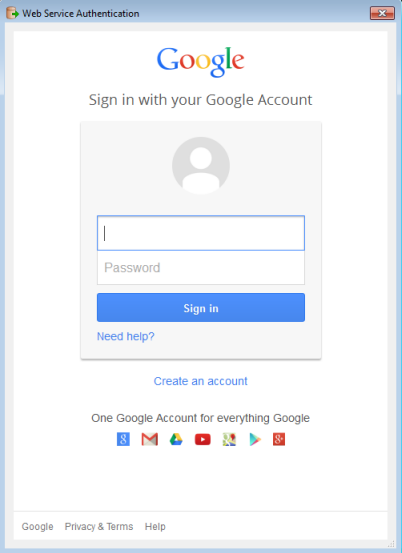
If you already know the token, you can copy/paste it into this parameter. To obtain a new token, click the browse button. This will prompt for a Google account authentication page from Google.
It is recommended that you save the defaults (from the Defaults button on the dialog) once the refresh token is retrieved so you will not have to re-authenticate in the future.
Note: Refresh tokens generated for the Google Maps Engine Raster reader have a read-only scope. They cannot be shared with the Google Maps Engine Raster writer.
All content stored on Google Maps Engine is associated with a project.
A project must be specified in order to list or read raster assets. A project may be specified by name, ID, or by “name (ID)”.
The raster list shows all accessible raster and raster collection assets under the selected Google Maps Engine project. Raster assets are listed by name, or by “name (ID)” if multiple assets with the same name exist.
Multiple raster or raster collection assets may be selected. Raster or raster collection assets may be specified by name, asset ID, or by “name (ID)”.
This parameter exposes Format Attributes in Workbench when you create a workspace:
Using the minimum and maximum x and y parameters, define a bounding box that will be used to filter the input features. Only features that interact with the bounding box are returned.
If all four coordinates of the search envelope are specified as 0, the search envelope will be disabled.
Select this option to remove any portions of exported features outside the area of interest.